 vesseltracker.com
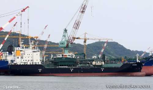
Othoni
Current StatusWhere is the vessel?
Othoni is currently in 14 nm SW of Oranjestad, based on AIS data received about 1h ago.
Latest AIS update:
Current position: 12.36831° N, 70.22525° W (14 nm SW of Oranjestad)
Average speed (last 7 days): Loading…
Average speed (last 30 days): Loading…
Vessel profile: Othoni is a Lpg Tanker with dimensions 24m x 147m.
This page combines live AIS, route history, probable destination signals, nearby traffic, and port activity for practical vessel monitoring.
The current position of vessel Othoni is 12.36831 lat / -70.22525 lng. Updated: 2026-05-14 07:59:23 UTCNearest reference points:
- 24 nm NW of Palm Beach
- Near Las Piedras
- Near Bullenbaai
Details:
Live Vessel Othoni Analytics (details, animations, etc.)
Recent AIS points (UTC):
2026-05-14 04:23:26 UTC · 12.36807, -70.22534 · SOG 0.1 kn · COG 105°2026-05-14 06:26:26 UTC · 12.36829, -70.22524 · SOG 0 kn · COG 108°
2026-05-14 07:50:29 UTC · 12.36837, -70.22523 · SOG 0.1 kn · COG 108°
2026-05-14 07:59:23 UTC · 12.36831, -70.22525 · SOG 0 kn · COG 107°