 vesseltracker.com
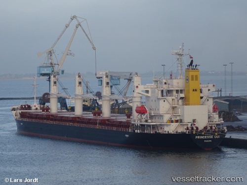
 ECO NEMESIS
Current Status
Where is the vessel?
ECO NEMESIS is currently in Near Anna Maria, based on AIS data received about 4h ago.
Latest AIS update:
Current position: 27.60696° N, 82.83235° W (Near Anna Maria)
Average speed (last 7 days): Loading…
Average speed (last 30 days): Loading…
Vessel profile: ECO NEMESIS is a Cargo with dimensions m x m.
This page combines live AIS, route history, probable destination signals, nearby traffic, and port activity for practical vessel monitoring.
The current position of vessel ECO NEMESIS is 27.60696 lat / -82.83235 lng. Updated: 2026-05-14 23:32:39 UTCNearest reference points:
- Near Tierra Verde
- Near Saint Pete Beach
- Near Saint Petersburg
Currently sailing under the flag of Liberia ![]()
Details:
Live Vessel ECO NEMESIS Analytics (details, animations, etc.)
Recent AIS points (UTC):
2026-05-14 19:44:10 UTC · 27.90360, -82.41411 · SOG 0 kn · COG 91°2026-05-14 21:49:50 UTC · 27.78031, -82.52199 · SOG 12 kn · COG 195°
2026-05-14 23:08:50 UTC · 27.60443, -82.73775 · SOG 12.5 kn · COG 282°
2026-05-14 23:32:39 UTC · 27.60696, -82.83235 · SOG 12.6 kn · COG 266°