 vesseltracker.com
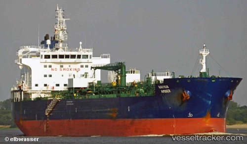
Navig8 Amber
Current StatusWhere is the vessel?
Navig8 Amber is currently in Near Damietta, based on AIS data received less than 1h ago.
Latest AIS update:
Current position: 31.56967° N, 31.79290° E (Near Damietta)
Average speed (last 7 days): Loading…
Average speed (last 30 days): Loading…
Vessel profile: Navig8 Amber is a Chemical Oil Products Tanker with dimensions 27m x 184m.
This page combines live AIS, route history, probable destination signals, nearby traffic, and port activity for practical vessel monitoring.
The current position of vessel Navig8 Amber is 31.56967 lat / 31.79290 lng. Updated: 2026-04-30 04:35:06 UTCNearest reference points:
- Near Damietta
- 21 nm N of Port Said
- 15 nm N of Port Said
Details:
Live Vessel Navig8 Amber Analytics (details, animations, etc.)
Recent AIS points (UTC):
2026-04-30 01:29:15 UTC · 31.56941, 31.79273 · SOG 0 kn · COG 304°2026-04-30 01:53:14 UTC · 31.56950, 31.79282 · SOG 0 kn · COG 299°
2026-04-30 03:29:10 UTC · 31.56971, 31.79278 · SOG 0 kn · COG 287°
2026-04-30 04:35:06 UTC · 31.56967, 31.79290 · SOG 0 kn · COG 288°