 vesseltracker.com
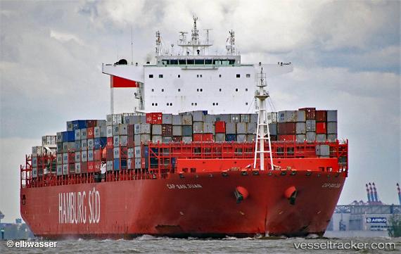
Cap San Juan
Current StatusWhere is the vessel?
Cap San Juan is currently in 18 nm SW of Selat Sunda, based on AIS data received about 1h ago.
Latest AIS update:
Current position: 6.19195° S, 105.55917° E (18 nm SW of Selat Sunda)
Average speed (last 7 days): Loading…
Average speed (last 30 days): Loading…
Vessel profile: Cap San Juan is a Container Ship with dimensions 48m x 332m.
This page combines live AIS, route history, probable destination signals, nearby traffic, and port activity for practical vessel monitoring.
The current position of vessel Cap San Juan is -6.19195 lat / 105.55917 lng. Updated: 2026-05-14 20:16:23 UTCNearest reference points:
- Near BAKAUHENI
- Near Cigading
- Near Ardjuna
Details:
Live Vessel Cap San Juan Analytics (details, animations, etc.)
Recent AIS points (UTC):
2026-05-14 16:58:08 UTC · -5.39333, 106.10833 · SOG 16 kn · COG -1°2026-05-14 18:15:42 UTC · -5.69693, 105.91922 · SOG 17.2 kn · COG 212°
2026-05-14 19:17:42 UTC · -5.95575, 105.75885 · SOG 19.4 kn · COG 221°
2026-05-14 20:16:23 UTC · -6.19195, 105.55917 · SOG 18.6 kn · COG 218°