 vesseltracker.com
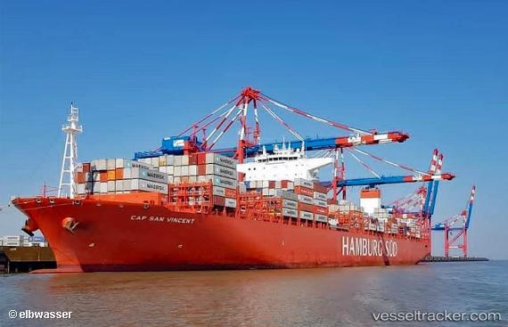
 Cap San Vincent
Current Status
Where is the vessel?
Cap San Vincent is currently in 84 nm S of Sao Sebastiao, based on AIS data received about 1h ago.
Latest AIS update:
Current position: 25.13160° S, 44.89618° W (84 nm S of Sao Sebastiao)
Average speed (last 7 days): Loading…
Average speed (last 30 days): Loading…
Vessel profile: Cap San Vincent is a Container Ship with dimensions 332m x 48m.
This page combines live AIS, route history, probable destination signals, nearby traffic, and port activity for practical vessel monitoring.
The current position of vessel Cap San Vincent is -25.13160 lat / -44.89618 lng. Updated: 2026-05-14 23:49:55 UTCNearest reference points:
- 56 nm S of Sao Sebastiao
- 30 nm SE of Guarujá
- 61 nm S of TEBIG
Currently sailing under the flag of Marshall Is ![]()
Details:
Live Vessel Cap San Vincent Analytics (details, animations, etc.)
Recent AIS points (UTC):
2026-05-14 19:46:40 UTC · -24.60393, -45.86792 · SOG 15.4 kn · COG 122°2026-05-14 21:37:55 UTC · -24.84387, -45.41302 · SOG 15.1 kn · COG 123°
2026-05-14 22:26:31 UTC · -24.95167, -45.22333 · SOG 15 kn · COG -1°
2026-05-14 23:49:55 UTC · -25.13160, -44.89618 · SOG 14.8 kn · COG 122°