 vesseltracker.com
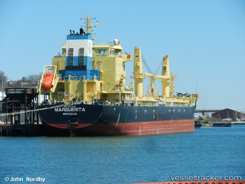
 UBC BARI
Current Status
Where is the vessel?
UBC BARI is currently in 127 nm S of Willow Street, based on AIS data received less than 1h ago.
Latest AIS update:
Current position: 28.87833° N, 75.88833° W (127 nm S of Willow Street)
Average speed (last 7 days): Loading…
Average speed (last 30 days): Loading…
Vessel profile: UBC BARI is a Cargo with dimensions m x m.
This page combines live AIS, route history, probable destination signals, nearby traffic, and port activity for practical vessel monitoring.
The current position of vessel UBC BARI is 28.87833 lat / -75.88833 lng. Updated: 2026-05-14 19:44:13 UTCNearest reference points:
- 113 nm NE of Green Turtle Cay
- 75 nm N of Green Turtle Cay
- Near Green Turtle Cay
Details:
Live Vessel UBC BARI Analytics (details, animations, etc.)
Recent AIS points (UTC):
2026-05-14 16:50:10 UTC · 28.35833, -76.32000 · SOG 12 kn · COG -1°2026-05-14 17:56:09 UTC · 28.54667, -76.15667 · SOG 13 kn · COG -1°
2026-05-14 19:32:11 UTC · 28.84167, -75.91833 · SOG 13 kn · COG -1°
2026-05-14 19:44:13 UTC · 28.87833, -75.88833 · SOG 13 kn · COG -1°