 vesseltracker.com
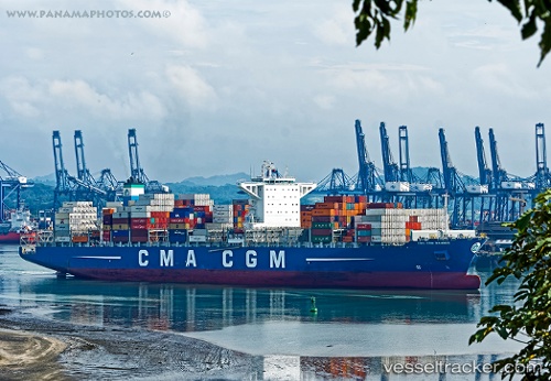
 CMA CGM GANGES
Current Status
Where is the vessel?
CMA CGM GANGES is currently in 224 nm W of Efpalion, based on AIS data received less than 1h ago.
Latest AIS update:
Current position: 23.78910° N, 42.49646° W (224 nm W of Efpalion)
Average speed (last 7 days): Loading…
Average speed (last 30 days): Loading…
Vessel profile: CMA CGM GANGES is a Container Ship with dimensions 48m x 299m.
This page combines live AIS, route history, probable destination signals, nearby traffic, and port activity for practical vessel monitoring.
The current position of vessel CMA CGM GANGES is 23.78910 lat / -42.49646 lng. Updated: 2026-05-16 14:04:07 UTCNearest reference points:
- 126 nm W of Efpalion
Currently sailing under the flag of Malta ![]()
CMA CGM GANGES built in 2015 year
Deadweight:
111034 tDetails:
Live Vessel CMA CGM GANGES Analytics (details, animations, etc.)
Recent AIS points (UTC):
2026-05-16 10:44:03 UTC · 23.06977, -41.74923 · SOG 17.8 kn · COG 318°2026-05-16 11:35:28 UTC · 23.25386, -41.94011 · SOG 17.8 kn · COG 319°
2026-05-16 13:44:34 UTC · 23.71867, -42.42263 · SOG 17.9 kn · COG 319°
2026-05-16 14:04:07 UTC · 23.78910, -42.49646 · SOG 17.7 kn · COG 318°