 vesseltracker.com
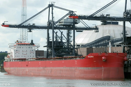
 VULCANIA
Current Status
Where is the vessel?
VULCANIA is currently in Near JARDIM CAMBURI, based on AIS data received about 1h ago.
Latest AIS update:
Current position: 20.31777° S, 40.24118° W (Near JARDIM CAMBURI)
Average speed (last 7 days): Loading…
Average speed (last 30 days): Loading…
Vessel profile: VULCANIA is a Bulk Carrier with dimensions 32m x 229m.
This page combines live AIS, route history, probable destination signals, nearby traffic, and port activity for practical vessel monitoring.
The current position of vessel VULCANIA is -20.31777 lat / -40.24118 lng. Updated: 2026-04-28 17:37:17 UTCNearest reference points:
- Near JARDIM CAMBURI
- Near Tubarão Pt./Vitória
- Near BAIA DE VITORIA
Currently sailing under the flag of Malta ![]()
VULCANIA built in 2015 year
Deadweight:
82036 tDetails:
Live Vessel VULCANIA Analytics (details, animations, etc.)
Recent AIS points (UTC):
2026-04-28 13:43:33 UTC · -20.36501, -40.18197 · SOG 0.2 kn · COG 42°2026-04-28 16:25:40 UTC · -20.36321, -40.18123 · SOG 0.2 kn · COG 52°
2026-04-28 17:01:46 UTC · -20.35169, -40.20931 · SOG 2.9 kn · COG 307°
2026-04-28 17:37:17 UTC · -20.31777, -40.24118 · SOG 6.7 kn · COG 330°