 vesseltracker.com
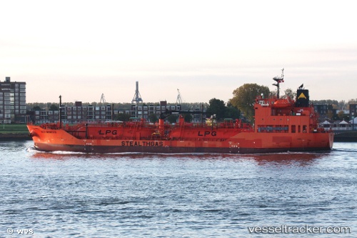
 Eco Nemesis
Current Status
Where is the vessel?
Eco Nemesis is currently in 10 nm S of Errindlev, based on AIS data received about 2h ago.
Latest AIS update:
Current position: 54.49412° N, 11.54560° E (10 nm S of Errindlev)
Average speed (last 7 days): Loading…
Average speed (last 30 days): Loading…
Vessel profile: Eco Nemesis is a Lpg Tanker with dimensions 101m x 18m.
This page combines live AIS, route history, probable destination signals, nearby traffic, and port activity for practical vessel monitoring.
The current position of vessel Eco Nemesis is 54.49412 lat / 11.54560 lng. Updated: 2026-05-15 01:15:47 UTCNearest reference points:
- Near GEDSER
- Near Reersoe
- Near BURGSTAAKEN
Currently sailing under the flag of Marshall Is ![]()
Details:
Live Vessel Eco Nemesis Analytics (details, animations, etc.)
Recent AIS points (UTC):
2026-05-14 22:01:07 UTC · 54.66244, 12.36108 · SOG 11.5 kn · COG 235°2026-05-14 22:37:29 UTC · 54.58212, 12.22563 · SOG 11.9 kn · COG 200°
2026-05-14 23:58:47 UTC · 54.43629, 11.94850 · SOG 11.5 kn · COG 270°
2026-05-15 01:15:47 UTC · 54.49412, 11.54560 · SOG 11.3 kn · COG 295°