 vesseltracker.com
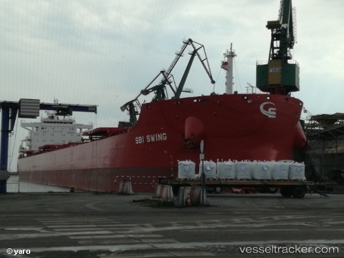
 STEFANOS
Current Status
Where is the vessel?
STEFANOS is currently in Near MAASVLAKTE - ROTTERDAM, based on AIS data received about 1h ago.
Latest AIS update:
Current position: 51.93856° N, 4.05807° E (Near MAASVLAKTE - ROTTERDAM)
Average speed (last 7 days): Loading…
Average speed (last 30 days): Loading…
Vessel profile: STEFANOS is a Bulk Carrier with dimensions 32m x 229m.
This page combines live AIS, route history, probable destination signals, nearby traffic, and port activity for practical vessel monitoring.
The current position of vessel STEFANOS is 51.93856 lat / 4.05807 lng. Updated: 2026-04-23 13:42:49 UTCNearest reference points:
- Near MAASVLAKTE - ROTTERDAM
- Near HOEK VAN HOLLAND
- Near Rockanje
Currently sailing under the flag of Marshall Islands ![]()
STEFANOS built in 2017 year
Deadweight:
81237 tDetails:
Live Vessel STEFANOS Analytics (details, animations, etc.)
Recent AIS points (UTC):
2026-04-23 10:27:46 UTC · 51.93854, 4.05803 · SOG 0 kn · COG 249°2026-04-23 12:21:46 UTC · 51.93854, 4.05806 · SOG 0 kn · COG 249°
2026-04-23 13:36:52 UTC · 51.93853, 4.05804 · SOG 0 kn · COG 249°
2026-04-23 13:42:49 UTC · 51.93856, 4.05807 · SOG 0 kn · COG 249°