 vesseltracker.com
 DANAE
DANAE
Current Status
Where is the vessel?
DANAE is currently in 67 nm SE of Pemba, based on AIS data received about 1h ago.
Latest AIS update:
Current position: 13.66385° S, 41.38731° E (67 nm SE of Pemba)
Average speed (last 7 days): Loading…
Average speed (last 30 days): Loading…
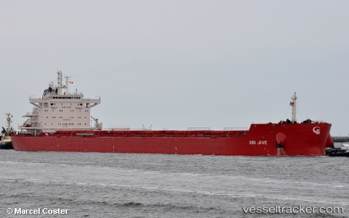
Vessel profile: DANAE is a Bulk Carrier with dimensions 229m x 32m.
This page combines live AIS, route history, probable destination signals, nearby traffic, and port activity for practical vessel monitoring.
The current position of vessel DANAE is -13.66385 lat / 41.38731 lng. Updated: 2026-05-01 19:42:08 UTCNearest reference points:
- 10 nm N of NACALA PORTO
- Near NACALA PORTO
- 47 nm NW of Mohéli Apt
Currently sailing under the flag of Marshall Islands ![]()
DANAE built in 2017 year
Deadweight:
81252 tDetails:
Live Vessel DANAE Analytics (details, animations, etc.)
Recent AIS points (UTC):
2026-05-01 16:56:29 UTC · -13.71500, 41.40333 · SOG 2 kn · COG -1°2026-05-01 18:16:22 UTC · -13.69163, 41.39372 · SOG 1.1 kn · COG 291°
2026-05-01 19:24:58 UTC · -13.66937, 41.38905 · SOG 1.5 kn · COG 277°
2026-05-01 19:42:08 UTC · -13.66385, 41.38731 · SOG 1.1 kn · COG 278°