 vesseltracker.com
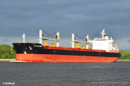
Princess Margo
Current StatusWhere is the vessel?
Princess Margo is currently in 111 nm NE of Kourou, based on AIS data received about 1h ago.
Latest AIS update:
Current position: 6.55637° N, 51.43494° W (111 nm NE of Kourou)
Average speed (last 7 days): Loading…
Average speed (last 30 days): Loading…
Vessel profile: Princess Margo is a Bulk Carrier with dimensions 32m x 199m.
This page combines live AIS, route history, probable destination signals, nearby traffic, and port activity for practical vessel monitoring.
The current position of vessel Princess Margo is 6.55637 lat / -51.43494 lng. Updated: 2026-05-14 04:16:29 UTCDetails:
Live Vessel Princess Margo Analytics (details, animations, etc.)
Recent AIS points (UTC):
2026-05-14 01:13:18 UTC · 6.84880, -51.82997 · SOG 9.2 kn · COG 127°2026-05-14 01:22:46 UTC · 6.83475, -51.81050 · SOG 9 kn · COG 126°
2026-05-14 03:25:20 UTC · 6.63726, -51.54462 · SOG 9.7 kn · COG 128°
2026-05-14 04:16:29 UTC · 6.55637, -51.43494 · SOG 9.6 kn · COG 128°