 vesseltracker.com
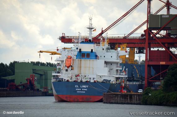
 CL LINDY
Current Status
Where is the vessel?
CL LINDY is currently in Near Banjul, based on AIS data received less than 1h ago.
Latest AIS update:
Current position: 13.43855° N, 16.55548° W (Near Banjul)
Average speed (last 7 days): Loading…
Average speed (last 30 days): Loading…
Vessel profile: CL LINDY is a Cargo with dimensions m x m.
This page combines live AIS, route history, probable destination signals, nearby traffic, and port activity for practical vessel monitoring.
The current position of vessel CL LINDY is 13.43855 lat / -16.55548 lng. Updated: 2026-05-14 07:23:58 UTCNearest reference points:
- Near Banjul
- Near San Francisco Libre
- Near Rufisque
Currently sailing under the flag of Liberia ![]()
Details:
Live Vessel CL LINDY Analytics (details, animations, etc.)
Recent AIS points (UTC):
2026-05-14 04:12:51 UTC · 13.43833, -16.55333 · SOG 0 kn · COG -1°2026-05-14 06:18:03 UTC · 13.43858, -16.55546 · SOG 0 kn · COG 333°
2026-05-14 07:00:52 UTC · 13.43833, -16.55500 · SOG 0 kn · COG -1°
2026-05-14 07:23:58 UTC · 13.43855, -16.55548 · SOG 0 kn · COG 336°