 vesseltracker.com
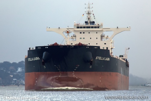
 TOPEKA
Current Status
Where is the vessel?
TOPEKA is currently in 25 nm S of Selat Lombok, based on AIS data received about 1h ago.
Latest AIS update:
Current position: 9.24599° S, 115.74146° E (25 nm S of Selat Lombok)
Average speed (last 7 days): Loading…
Average speed (last 30 days): Loading…
Vessel profile: TOPEKA is a Bulk Carrier with dimensions 295m x 46m.
This page combines live AIS, route history, probable destination signals, nearby traffic, and port activity for practical vessel monitoring.
The current position of vessel TOPEKA is -9.24599 lat / 115.74146 lng. Updated: 2026-05-14 17:00:00 UTCNearest reference points:
- Near LEMBAR
- Near BENOA
- 29 nm N of MANGGIS
Currently sailing under the flag of Malta ![]()
TOPEKA built in 2015 year
Deadweight:
179549 tDetails:
Live Vessel TOPEKA Analytics (details, animations, etc.)
Recent AIS points (UTC):
2026-05-14 13:29:39 UTC · -8.60249, 115.73802 · SOG 13.4 kn · COG 205°2026-05-14 14:28:21 UTC · -8.77973, 115.68395 · SOG 11.3 kn · COG 196°
2026-05-14 15:37:11 UTC · -9.00582, 115.67501 · SOG 11.6 kn · COG 158°
2026-05-14 17:00:00 UTC · -9.24599, 115.74146 · SOG 10.5 kn · COG 162°