 vesseltracker.com
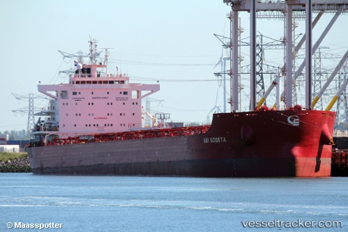
 ERMIS
ERMIS
Current Status
Where is the vessel?
ERMIS is currently in 120 nm W of Okha, based on AIS data received less than 1h ago.
Latest AIS update:
Current position: 22.07500° N, 66.97333° E (120 nm W of Okha)
Average speed (last 7 days): Loading…
Average speed (last 30 days): Loading…
Vessel profile: ERMIS is a Cargo with dimensions m x m.
This page combines live AIS, route history, probable destination signals, nearby traffic, and port activity for practical vessel monitoring.
The current position of vessel ERMIS is 22.07500 lat / 66.97333 lng. Updated: 2026-05-15 13:21:34 UTCNearest reference points:
- 84 nm SW of Keti Bandar
- 49 nm S of Positra
- 54 nm S of Positra
Currently sailing under the flag of Malta ![]()
Details:
Live Vessel ERMIS Analytics (details, animations, etc.)
Recent AIS points (UTC):
2026-05-15 10:00:38 UTC · 22.09333, 66.88500 · SOG 1 kn · COG -1°2026-05-15 10:18:30 UTC · 22.09333, 66.89167 · SOG 1 kn · COG -1°
2026-05-15 11:06:35 UTC · 22.08833, 66.91167 · SOG 1 kn · COG -1°
2026-05-15 13:21:34 UTC · 22.07500, 66.97333 · SOG 1 kn · COG -1°