 vesseltracker.com
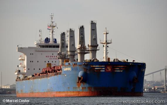
Lampard
Current StatusWhere is the vessel?
Lampard is currently in 56 nm SW of Chimbote, based on AIS data received less than 1h ago.
Latest AIS update:
Current position: 9.78372° S, 79.21210° W (56 nm SW of Chimbote)
Average speed (last 7 days): Loading…
Average speed (last 30 days): Loading…
Vessel profile: Lampard is a Bulk Carrier with dimensions 32m x 200m.
This page combines live AIS, route history, probable destination signals, nearby traffic, and port activity for practical vessel monitoring.
The current position of vessel Lampard is -9.78372 lat / -79.21210 lng. Updated: 2026-05-17 04:05:16 UTCNearest reference points:
- 81 nm SW of Chimbote
- 43 nm SW of Barranca
- 125 nm SW of Supe Bay
Details:
Live Vessel Lampard Analytics (details, animations, etc.)
Recent AIS points (UTC):
2026-05-16 23:50:55 UTC · -9.10300, -79.69968 · SOG 11.5 kn · COG 147°2026-05-17 02:05:15 UTC · -9.46762, -79.44464 · SOG 11.9 kn · COG 143°
2026-05-17 02:22:29 UTC · -9.51385, -79.41109 · SOG 12.1 kn · COG 143°
2026-05-17 04:05:16 UTC · -9.78372, -79.21210 · SOG 11.4 kn · COG 141°