 vesseltracker.com
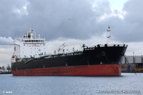
 PANTHERLIGHT
Current Status
Where is the vessel?
PANTHERLIGHT is currently in 38 nm NE of Estombar, based on AIS data received about 1h ago.
Latest AIS update:
Current position: 37.64463° N, 8.96410° E (38 nm NE of Estombar)
Average speed (last 7 days): Loading…
Average speed (last 30 days): Loading…
Vessel profile: PANTHERLIGHT is a Tanker with dimensions m x m.
This page combines live AIS, route history, probable destination signals, nearby traffic, and port activity for practical vessel monitoring.
The current position of vessel PANTHERLIGHT is 37.64463 lat / 8.96410 lng. Updated: 2026-05-01 06:15:48 UTCNearest reference points:
- 35 nm S of Setubal
- 33 nm SE of Setubal
- Near Annaba
Currently sailing under the flag of Malta ![]()
Details:
Live Vessel PANTHERLIGHT Analytics (details, animations, etc.)
Recent AIS points (UTC):
2026-05-01 02:30:48 UTC · 37.66134, 9.99395 · SOG 13 kn · COG 266°2026-05-01 03:20:49 UTC · 37.66085, 9.76300 · SOG 13.1 kn · COG 263°
2026-05-01 04:06:06 UTC · 37.66482, 9.55619 · SOG 12.9 kn · COG 269°
2026-05-01 06:15:48 UTC · 37.64463, 8.96410 · SOG 12.9 kn · COG 275°