 vesseltracker.com
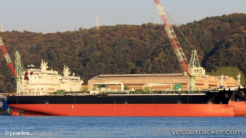
 FRANK LIGHT
Current Status
Where is the vessel?
FRANK LIGHT is currently in Near Sarköy, based on AIS data received less than 1h ago.
Latest AIS update:
Current position: 40.50780° N, 27.14288° E (Near Sarköy)
Average speed (last 7 days): Loading…
Average speed (last 30 days): Loading…
Vessel profile: FRANK LIGHT is a Tanker with dimensions m x m.
This page combines live AIS, route history, probable destination signals, nearby traffic, and port activity for practical vessel monitoring.
The current position of vessel FRANK LIGHT is 40.50780 lat / 27.14288 lng. Updated: 2026-05-15 11:38:15 UTCNearest reference points:
- Near Sarköy
- Near Marmara Adasi
- Near Saraylar
Currently sailing under the flag of Marshall Islands ![]()
Details:
Live Vessel FRANK LIGHT Analytics (details, animations, etc.)
Recent AIS points (UTC):
2026-05-15 07:52:03 UTC · 40.50820, 27.14276 · SOG 0 kn · COG 92°2026-05-15 09:38:14 UTC · 40.50795, 27.14272 · SOG 0 kn · COG 81°
2026-05-15 10:29:19 UTC · 40.50776, 27.14282 · SOG 0 kn · COG 73°
2026-05-15 11:38:15 UTC · 40.50780, 27.14288 · SOG 0 kn · COG 73°