 vesseltracker.com
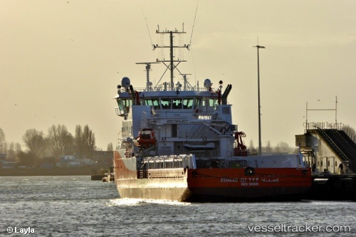
 Esnaad 223
Current Status
Where is the vessel?
Esnaad 223 is currently in 15 nm NE of Az Zarqa Island, based on AIS data received about 2d ago.
Latest AIS update:
Current position: 25.10158° N, 53.29991° E (15 nm NE of Az Zarqa Island)
Average speed (last 7 days): Loading…
Average speed (last 30 days): Loading…
Vessel profile: Esnaad 223 is a Offshore Tug Supply Ship with dimensions 70m x 15m.
This page combines live AIS, route history, probable destination signals, nearby traffic, and port activity for practical vessel monitoring.
The current position of vessel Esnaad 223 is 25.10158 lat / 53.29991 lng. Updated: 2026-05-11 11:20:34 UTCNearest reference points:
- Near Das Island
- Near Yas Island
- 21 nm NE of Halul Island
Currently sailing under the flag of UAE ![]()
Details:
Live Vessel Esnaad 223 Analytics (details, animations, etc.)
Recent AIS points (UTC):
2026-05-11 11:20:34 UTC · 25.10158, 53.29991 · SOG 6.8 kn · COG 33°2026-05-11 11:20:34 UTC · 25.10158, 53.29991 · SOG 6.8 kn · COG 33°
2026-05-11 11:20:34 UTC · 25.10158, 53.29991 · SOG 6.8 kn · COG 33°
2026-05-11 11:20:34 UTC · 25.10158, 53.29991 · SOG 6.8 kn · COG 33°