 vesseltracker.com
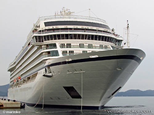
 Viking Sea
Current Status
Where is the vessel?
Viking Sea is currently in 17 nm SW of Olvan, based on AIS data received about 2h ago.
Latest AIS update:
Current position: 41.97238° N, 18.65292° E (17 nm SW of Olvan)
Average speed (last 7 days): Loading…
Average speed (last 30 days): Loading…
Vessel profile: Viking Sea is a Cruise Ship with dimensions 228m x 34m.
This page combines live AIS, route history, probable destination signals, nearby traffic, and port activity for practical vessel monitoring.
The current position of vessel Viking Sea is 41.97238 lat / 18.65292 lng. Updated: 2026-05-15 01:17:07 UTCNearest reference points:
- Near TIVAT
- Near Zelenika
- Near Zelinika
Currently sailing under the flag of Norway ![]()
Details:
Live Vessel Viking Sea Analytics (details, animations, etc.)
Recent AIS points (UTC):
2026-05-14 22:00:22 UTC · 41.23438, 18.85027 · SOG 15.4 kn · COG 349°2026-05-14 22:35:20 UTC · 41.36682, 18.81523 · SOG 13.5 kn · COG 349°
2026-05-14 23:58:10 UTC · 41.67523, 18.73233 · SOG 13.8 kn · COG 350°
2026-05-15 01:17:07 UTC · 41.97238, 18.65292 · SOG 13.8 kn · COG 350°