 vesseltracker.com
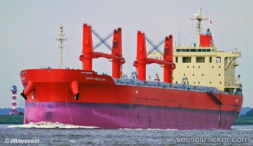
Santa Angelina
Current StatusWhere is the vessel?
Santa Angelina is currently in 21 nm S of Guarujá, based on AIS data received less than 1h ago.
Latest AIS update:
Current position: 24.33459° S, 46.34085° W (21 nm S of Guarujá)
Average speed (last 7 days): Loading…
Average speed (last 30 days): Loading…
Vessel profile: Santa Angelina is a Bulk Carrier with dimensions 32m x 189m.
This page combines live AIS, route history, probable destination signals, nearby traffic, and port activity for practical vessel monitoring.
The current position of vessel Santa Angelina is -24.33459 lat / -46.34085 lng. Updated: 2026-05-14 07:07:06 UTCNearest reference points:
- 36 nm S of Guarujá
- Near Guarujá
- Near Santos
Details:
Live Vessel Santa Angelina Analytics (details, animations, etc.)
Recent AIS points (UTC):
2026-05-14 03:35:45 UTC · -24.39597, -45.61268 · SOG 12.7 kn · COG 260°2026-05-14 04:07:17 UTC · -24.41233, -45.72990 · SOG 12.4 kn · COG 260°
2026-05-14 06:10:15 UTC · -24.42357, -46.18781 · SOG 12.4 kn · COG 269°
2026-05-14 07:07:06 UTC · -24.33459, -46.34085 · SOG 12.5 kn · COG 345°