 vesseltracker.com
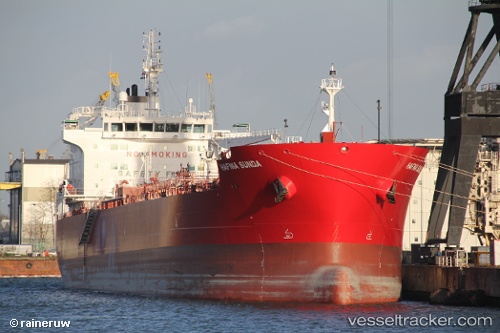
 SUNDA
SUNDA
Current Status
Where is the vessel?
SUNDA is currently in 109 nm S of Kastellorizou (ex Megísti), based on AIS data received less than 1h ago.
Latest AIS update:
Current position: 34.33721° N, 29.79187° E (109 nm S of Kastellorizou (ex Megísti))
Average speed (last 7 days): Loading…
Average speed (last 30 days): Loading…
Vessel profile: SUNDA is a Tanker with dimensions m x m.
This page combines live AIS, route history, probable destination signals, nearby traffic, and port activity for practical vessel monitoring.
The current position of vessel SUNDA is 34.33721 lat / 29.79187 lng. Updated: 2026-05-14 09:35:56 UTCNearest reference points:
- 108 nm S of Kastellorizou (ex Megísti)
- 129 nm NW of ABU QIR
- Near KAS
Currently sailing under the flag of Marshall Islands ![]()
Details:
Live Vessel SUNDA Analytics (details, animations, etc.)
Recent AIS points (UTC):
2026-05-14 05:55:26 UTC · 34.34513, 30.73506 · SOG 12.9 kn · COG 268°2026-05-14 07:22:26 UTC · 34.34545, 30.36070 · SOG 12.8 kn · COG 268°
2026-05-14 07:22:26 UTC · 34.34545, 30.36070 · SOG 12.8 kn · COG 268°
2026-05-14 09:35:56 UTC · 34.33721, 29.79187 · SOG 12.4 kn · COG 272°