 vesseltracker.com
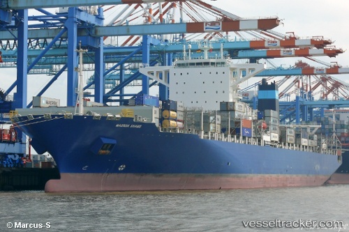
Maersk Shams
Current StatusWhere is the vessel?
Maersk Shams is currently in 37 nm W of Lazaro Cardenas, based on AIS data received about 1h ago.
Latest AIS update:
Current position: 17.72593° N, 102.79821° W (37 nm W of Lazaro Cardenas)
Average speed (last 7 days): Loading…
Average speed (last 30 days): Loading…
Vessel profile: Maersk Shams is a Container Ship with dimensions 48m x 299m.
This page combines live AIS, route history, probable destination signals, nearby traffic, and port activity for practical vessel monitoring.
The current position of vessel Maersk Shams is 17.72593 lat / -102.79821 lng. Updated: 2026-05-02 07:16:59 UTCNearest reference points:
- 43 nm SW of Antunez
- Near Lazaro Cardenas
- 46 nm S of El Ranchito
Details:
Live Vessel Maersk Shams Analytics (details, animations, etc.)
Recent AIS points (UTC):
2026-05-02 04:40:30 UTC · 17.97451, -103.39984 · SOG 14.3 kn · COG 114°2026-05-02 05:21:25 UTC · 17.90912, -103.24112 · SOG 14.5 kn · COG 114°
2026-05-02 07:01:02 UTC · 17.74988, -102.85868 · SOG 14 kn · COG 112°
2026-05-02 07:16:59 UTC · 17.72593, -102.79821 · SOG 14 kn · COG 112°