 vesseltracker.com
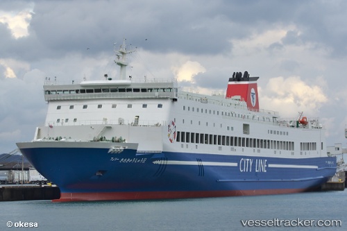
 Ferry Kitakyushu Ii
Current Status
Where is the vessel?
Ferry Kitakyushu Ii is currently in 13 nm NE of Higashikagawa, based on AIS data received less than 1h ago.
Latest AIS update:
Current position: 34.44468° N, 134.48567° E (13 nm NE of Higashikagawa)
Average speed (last 7 days): Loading…
Average speed (last 30 days): Loading…
Vessel profile: Ferry Kitakyushu Ii is a Passenger Ro Ro Cargo Ship with dimensions 183m x 28m.
This page combines live AIS, route history, probable destination signals, nearby traffic, and port activity for practical vessel monitoring.
The current position of vessel Ferry Kitakyushu Ii is 34.44468 lat / 134.48567 lng. Updated: 2026-05-14 17:39:06 UTCNearest reference points:
- Near TONOSHO
- Near TOKUSHIMA
- Near Awaji
Currently sailing under the flag of Japan ![]()
Details:
Live Vessel Ferry Kitakyushu Ii Analytics (details, animations, etc.)
Recent AIS points (UTC):
2026-05-14 14:03:59 UTC · 34.17984, 133.21385 · SOG 20.2 kn · COG 53°2026-05-14 15:48:40 UTC · 34.37727, 133.84734 · SOG 13.4 kn · COG 69°
2026-05-14 16:57:43 UTC · 34.40649, 134.20116 · SOG 21.4 kn · COG 115°
2026-05-14 17:39:06 UTC · 34.44468, 134.48567 · SOG 21.2 kn · COG 71°