 vesseltracker.com
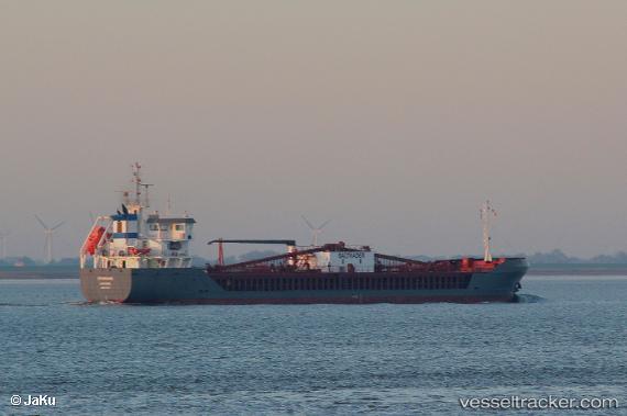
 Cembrook
Current Status
Where is the vessel?
Cembrook is currently in Near Almeria, based on AIS data received less than 1h ago.
Latest AIS update:
Current position: 36.83322° N, 2.47496° W (Near Almeria)
Average speed (last 7 days): Loading…
Average speed (last 30 days): Loading…
Vessel profile: Cembrook is a Cement Carrier with dimensions 100m x 15m.
This page combines live AIS, route history, probable destination signals, nearby traffic, and port activity for practical vessel monitoring.
The current position of vessel Cembrook is 36.83322 lat / -2.47496 lng. Updated: 2026-05-14 14:06:50 UTCNearest reference points:
- Near Almeria
- Near AGUADULCE
- Near Las Noras de Daza
Currently sailing under the flag of Cyprus ![]()
Details:
Live Vessel Cembrook Analytics (details, animations, etc.)
Recent AIS points (UTC):
2026-05-14 10:39:20 UTC · 36.83323, -2.47501 · SOG 0 kn · COG 131°2026-05-14 11:35:50 UTC · 36.83327, -2.47500 · SOG 0 kn · COG 132°
2026-05-14 13:40:10 UTC · 36.83323, -2.47503 · SOG 0 kn · COG 132°
2026-05-14 14:06:50 UTC · 36.83322, -2.47496 · SOG 0 kn · COG 132°