 vesseltracker.com
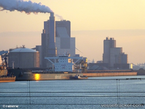
 Hubertus Oldendorff
Current Status
Where is the vessel?
Hubertus Oldendorff is currently in 21 nm S of Cape Agulhas, based on AIS data received about 2h ago.
Latest AIS update:
Current position: 35.17483° S, 19.88098° E (21 nm S of Cape Agulhas)
Average speed (last 7 days): Loading…
Average speed (last 30 days): Loading…
Vessel profile: Hubertus Oldendorff is a Bulk Carrier with dimensions 300m x 50m.
This page combines live AIS, route history, probable destination signals, nearby traffic, and port activity for practical vessel monitoring.
The current position of vessel Hubertus Oldendorff is -35.17483 lat / 19.88098 lng. Updated: 2026-05-15 01:14:09 UTCNearest reference points:
- 15 nm SE of Moorreesburg
- Near Mitchells Plain
- 18 nm SW of Cape Of Good Hope
Currently sailing under the flag of Portugal ![]()
Details:
Live Vessel Hubertus Oldendorff Analytics (details, animations, etc.)
Recent AIS points (UTC):
2026-05-14 22:00:01 UTC · -34.98833, 19.16333 · SOG 11 kn · COG -1°2026-05-14 22:29:59 UTC · -35.01833, 19.27500 · SOG 11 kn · COG -1°
2026-05-14 23:57:31 UTC · -35.10930, 19.60037 · SOG 11.4 kn · COG 110°
2026-05-15 01:14:09 UTC · -35.17483, 19.88098 · SOG 11.4 kn · COG 107°