 vesseltracker.com
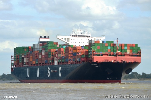
 AL DHAIL
Current Status
Where is the vessel?
AL DHAIL is currently in 12 nm SW of Kuala Langat, based on AIS data received less than 1h ago.
Latest AIS update:
Current position: 2.57766° N, 101.49085° E (12 nm SW of Kuala Langat)
Average speed (last 7 days): Loading…
Average speed (last 30 days): Loading…
Vessel profile: AL DHAIL is a Cargo A with dimensions m x m.
This page combines live AIS, route history, probable destination signals, nearby traffic, and port activity for practical vessel monitoring.
The current position of vessel AL DHAIL is 2.57766 lat / 101.49085 lng. Updated: 2026-05-15 11:37:24 UTCNearest reference points:
- 14 nm SW of Banting
- 13 nm SW of PORT DICKSON
- 15 nm SW of Banting
Currently sailing under the flag of Liberia ![]()
Details:
Live Vessel AL DHAIL Analytics (details, animations, etc.)
Recent AIS points (UTC):
2026-05-15 08:22:58 UTC · 2.09361, 102.08353 · SOG 14.9 kn · COG 310°2026-05-15 10:24:24 UTC · 2.40942, 101.72567 · SOG 13.9 kn · COG 306°
2026-05-15 11:02:06 UTC · 2.49584, 101.60558 · SOG 14.3 kn · COG 304°
2026-05-15 11:37:24 UTC · 2.57766, 101.49085 · SOG 14.4 kn · COG 306°