 vesseltracker.com
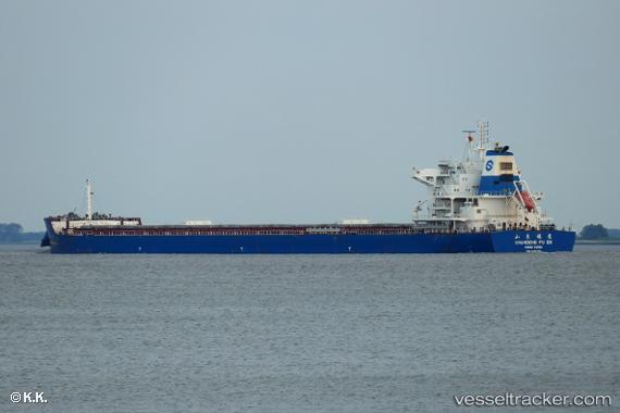
 SEA NOVA
Current Status
Where is the vessel?
SEA NOVA is currently in 119 nm NW of Bangui, based on AIS data received about 3h ago.
Latest AIS update:
Current position: 20.20833° N, 119.62833° E (119 nm NW of Bangui)
Average speed (last 7 days): Loading…
Average speed (last 30 days): Loading…
Vessel profile: SEA NOVA is a Cargo with dimensions m x m.
This page combines live AIS, route history, probable destination signals, nearby traffic, and port activity for practical vessel monitoring.
The current position of vessel SEA NOVA is 20.20833 lat / 119.62833 lng. Updated: 2026-05-14 23:29:30 UTCNearest reference points:
- 132 nm SW of Kaohsiung
- 106 nm W of Basco
- 101 nm S of Kaohsiung
Currently sailing under the flag of Liberia ![]()
Details:
Live Vessel SEA NOVA Analytics (details, animations, etc.)
Recent AIS points (UTC):
2026-05-14 19:50:31 UTC · 20.71333, 120.05500 · SOG 10 kn · COG -1°2026-05-14 22:13:01 UTC · 20.39091, 119.77775 · SOG 10.6 kn · COG 216°
2026-05-14 22:29:20 UTC · 20.35242, 119.74616 · SOG 10.7 kn · COG 215°
2026-05-14 23:29:30 UTC · 20.20833, 119.62833 · SOG 11 kn · COG -1°