 vesseltracker.com
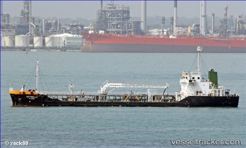
 Brue
Brue
Current Status
Where is the vessel?
Brue is currently in Near TANJUNG PELEPAS, based on AIS data received about 2h ago.
Latest AIS update:
Current position: 1.24354° N, 103.57639° E (Near TANJUNG PELEPAS)
Average speed (last 7 days): Loading…
Average speed (last 30 days): Loading…
Vessel profile: Brue is a Service Ship with dimensions 90m x 15m.
This page combines live AIS, route history, probable destination signals, nearby traffic, and port activity for practical vessel monitoring.
The current position of vessel Brue is 1.24354 lat / 103.57639 lng. Updated: 2026-05-01 05:32:27 UTCNearest reference points:
- Near Nipah
- Near Tuas
- Near JURONG ISLAND
Currently sailing under the flag of Singapore ![]()
Details:
Live Vessel Brue Analytics (details, animations, etc.)
Recent AIS points (UTC):
2026-05-01 01:25:31 UTC · 1.16619, 103.69589 · SOG 8.5 kn · COG 300°2026-05-01 03:50:32 UTC · 1.24460, 103.57806 · SOG 0 kn · COG 273°
2026-05-01 04:38:31 UTC · 1.24405, 103.57757 · SOG 0 kn · COG 297°
2026-05-01 05:32:27 UTC · 1.24354, 103.57639 · SOG 0.1 kn · COG 341°