 vesseltracker.com
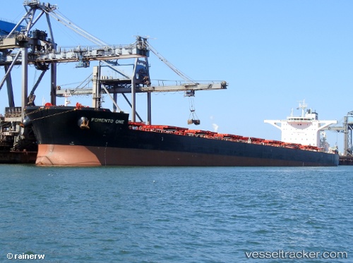
 AKADIMOS
Current Status
Where is the vessel?
AKADIMOS is currently in 122 nm W of Saldanha Bay, based on AIS data received about 1h ago.
Latest AIS update:
Current position: 32.75516° S, 15.48786° E (122 nm W of Saldanha Bay)
Average speed (last 7 days): Loading…
Average speed (last 30 days): Loading…
Vessel profile: AKADIMOS is a Cargo with dimensions m x m.
This page combines live AIS, route history, probable destination signals, nearby traffic, and port activity for practical vessel monitoring.
The current position of vessel AKADIMOS is -32.75516 lat / 15.48786 lng. Updated: 2026-05-13 19:53:08 UTCNearest reference points:
- 167 nm SW of Koiingnaas
- 116 nm SW of Saldanha Bay
- 111 nm W of Kommetjie
Currently sailing under the flag of Liberia ![]()
Details:
Live Vessel AKADIMOS Analytics (details, animations, etc.)
Recent AIS points (UTC):
2026-05-13 16:32:03 UTC · -32.49873, 15.02881 · SOG 8.3 kn · COG 121°2026-05-13 17:28:42 UTC · -32.56982, 15.15875 · SOG 8.4 kn · COG 121°
2026-05-13 19:49:23 UTC · -32.75664, 15.49068 · SOG 8.8 kn · COG 120°
2026-05-13 19:53:08 UTC · -32.75516, 15.48786 · SOG 8.7 kn · COG 121°