 vesseltracker.com
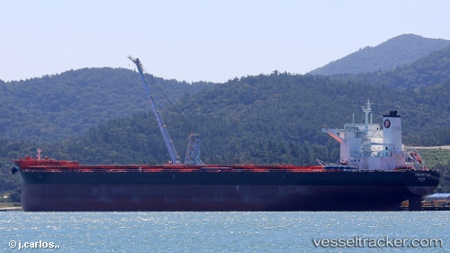
 PAN UNIVERSAL
Current Status
Where is the vessel?
PAN UNIVERSAL is currently in 29 nm NW of Port Hedland, based on AIS data received less than 1h ago.
Latest AIS update:
Current position: 19.87183° S, 118.33748° E (29 nm NW of Port Hedland)
Average speed (last 7 days): Loading…
Average speed (last 30 days): Loading…
Vessel profile: PAN UNIVERSAL is a Cargo with dimensions m x m.
This page combines live AIS, route history, probable destination signals, nearby traffic, and port activity for practical vessel monitoring.
The current position of vessel PAN UNIVERSAL is -19.87183 lat / 118.33748 lng. Updated: 2026-05-13 23:40:16 UTCNearest reference points:
- 11 nm E of Port Walcot
- 116 nm NE of Mutineer
- 121 nm NE of Mutineer
Currently sailing under the flag of Liberia ![]()
Details:
Live Vessel PAN UNIVERSAL Analytics (details, animations, etc.)
Recent AIS points (UTC):
2026-05-13 20:04:18 UTC · -19.87310, 118.33347 · SOG 0.3 kn · COG 50°2026-05-13 22:04:15 UTC · -19.87300, 118.33697 · SOG 0.1 kn · COG 302°
2026-05-13 22:13:20 UTC · -19.87281, 118.33683 · SOG 0.3 kn · COG 300°
2026-05-13 23:40:16 UTC · -19.87183, 118.33748 · SOG 0.1 kn · COG 266°