 vesseltracker.com
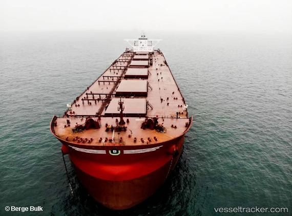
Berge Mafadi
Current StatusWhere is the vessel?
Berge Mafadi is currently in 25 nm E of Port Saint John's, based on AIS data received less than 1h ago.
Latest AIS update:
Current position: 31.60856° S, 30.01749° E (25 nm E of Port Saint John's)
Average speed (last 7 days): Loading…
Average speed (last 30 days): Loading…
Vessel profile: Berge Mafadi is a Ore Carrier with dimensions 57m x 328m.
This page combines live AIS, route history, probable destination signals, nearby traffic, and port activity for practical vessel monitoring.
The current position of vessel Berge Mafadi is -31.60856 lat / 30.01749 lng. Updated: 2026-05-14 05:55:13 UTCNearest reference points:
- 23 nm E of Port Saint John's
- Near Island View
- Near Durban
Details:
Live Vessel Berge Mafadi Analytics (details, animations, etc.)
Recent AIS points (UTC):
2026-05-14 02:10:07 UTC · -31.20631, 30.44181 · SOG 8.1 kn · COG 215°2026-05-14 03:53:37 UTC · -31.39162, 30.25876 · SOG 8.4 kn · COG 215°
2026-05-14 05:04:00 UTC · -31.51764, 30.12338 · SOG 8.6 kn · COG 215°
2026-05-14 05:55:13 UTC · -31.60856, 30.01749 · SOG 9.7 kn · COG 224°