 vesseltracker.com
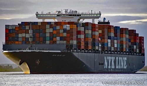
One Blue Jay
Current StatusWhere is the vessel?
One Blue Jay is currently in 57 nm E of ZHOUSHAN, based on AIS data received about 1h ago.
Latest AIS update:
Current position: 29.92927° N, 123.29031° E (57 nm E of ZHOUSHAN)
Average speed (last 7 days): Loading…
Average speed (last 30 days): Loading…
Vessel profile: One Blue Jay is a Container Ship with dimensions 51m x 364m.
This page combines live AIS, route history, probable destination signals, nearby traffic, and port activity for practical vessel monitoring.
The current position of vessel One Blue Jay is 29.92927 lat / 123.29031 lng. Updated: 2026-04-27 11:25:39 UTCNearest reference points:
- 60 nm E of JINHAI HEAVY INDUSTR
- 51 nm E of ZHOUSHAN
- 58 nm E of ZHOUSHAN
Details:
Live Vessel One Blue Jay Analytics (details, animations, etc.)
Recent AIS points (UTC):
2026-04-27 07:56:00 UTC · 29.25004, 122.93014 · SOG 12.7 kn · COG 15°2026-04-27 10:06:42 UTC · 29.67262, 123.17272 · SOG 12.5 kn · COG 36°
2026-04-27 10:27:11 UTC · 29.72978, 123.21438 · SOG 11.7 kn · COG 32°
2026-04-27 11:25:39 UTC · 29.92927, 123.29031 · SOG 13.6 kn · COG 15°