 vesseltracker.com
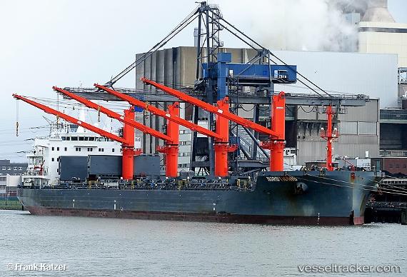
 Nordtigris
Current Status
Where is the vessel?
Nordtigris is currently in 47 nm E of Gregory' Lake Apt (Nuwara Eliya), based on AIS data received less than 1h ago.
Latest AIS update:
Current position: 8.21833° N, 81.97667° E (47 nm E of Gregory' Lake Apt (Nuwara Eliya))
Average speed (last 7 days): Loading…
Average speed (last 30 days): Loading…
Vessel profile: Nordtigris is a Bulk Carrier with dimensions 190m x 28m.
This page combines live AIS, route history, probable destination signals, nearby traffic, and port activity for practical vessel monitoring.
The current position of vessel Nordtigris is 8.21833 lat / 81.97667 lng. Updated: 2026-05-15 10:15:47 UTCNearest reference points:
- 67 nm E of Oluvil
- 42 nm E of Konwelana
- 40 nm E of Konwelana
Currently sailing under the flag of Portugal ![]()
Details:
Live Vessel Nordtigris Analytics (details, animations, etc.)
Recent AIS points (UTC):
2026-05-15 06:00:44 UTC · 9.13167, 81.70667 · SOG 13 kn · COG -1°2026-05-15 07:27:44 UTC · 8.81667, 81.79833 · SOG 13 kn · COG -1°
2026-05-15 07:27:44 UTC · 8.81667, 81.79833 · SOG 13 kn · COG -1°
2026-05-15 10:15:47 UTC · 8.21833, 81.97667 · SOG 13 kn · COG -1°