 vesseltracker.com
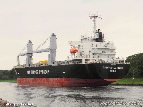
 NORD LOTUS
Current Status
Where is the vessel?
NORD LOTUS is currently in 85 nm E of Tami Island, based on AIS data received about 1h ago.
Latest AIS update:
Current position: 6.98772° S, 149.30467° E (85 nm E of Tami Island)
Average speed (last 7 days): Loading…
Average speed (last 30 days): Loading…
Vessel profile: NORD LOTUS is a Cargo with dimensions m x m.
This page combines live AIS, route history, probable destination signals, nearby traffic, and port activity for practical vessel monitoring.
The current position of vessel NORD LOTUS is -6.98772 lat / 149.30467 lng. Updated: 2026-04-26 01:48:20 UTCNearest reference points:
- 42 nm E of Tami Island
- Near Lae
Currently sailing under the flag of Panama ![]()
Details:
Live Vessel NORD LOTUS Analytics (details, animations, etc.)
Recent AIS points (UTC):
2026-04-25 22:37:24 UTC · -7.37115, 149.83328 · SOG 12.3 kn · COG 305°2026-04-25 23:53:50 UTC · -7.22027, 149.61931 · SOG 12.6 kn · COG 307°
2026-04-26 01:43:09 UTC · -6.99713, 149.31947 · SOG 12.2 kn · COG 301°
2026-04-26 01:48:20 UTC · -6.98772, 149.30467 · SOG 12.2 kn · COG 301°