 vesseltracker.com
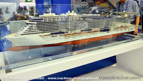
 Msc Seaside
Current Status
Where is the vessel?
Msc Seaside is currently in 43 nm SE of Fisher Island, Miami, based on AIS data received about 2h ago.
Latest AIS update:
Current position: 25.41296° N, 79.43469° W (43 nm SE of Fisher Island, Miami)
Average speed (last 7 days): Loading…
Average speed (last 30 days): Loading…
Vessel profile: Msc Seaside is a Cruise Ship with dimensions 323m x 44m.
This page combines live AIS, route history, probable destination signals, nearby traffic, and port activity for practical vessel monitoring.
The current position of vessel Msc Seaside is 25.41296 lat / -79.43469 lng. Updated: 2026-05-14 23:32:33 UTCNearest reference points:
- 44 nm E of Surfside
- 44 nm S of Freeport
- Near Fisher Island, Miami
Currently sailing under the flag of Malta ![]()
Details:
Live Vessel Msc Seaside Analytics (details, animations, etc.)
Recent AIS points (UTC):
2026-05-14 19:43:34 UTC · 25.41667, -79.20500 · SOG 0 kn · COG -1°2026-05-14 21:43:45 UTC · 25.40333, -79.32500 · SOG 3 kn · COG -1°
2026-05-14 23:09:04 UTC · 25.41026, -79.41145 · SOG 3.1 kn · COG 247°
2026-05-14 23:32:33 UTC · 25.41296, -79.43469 · SOG 3.4 kn · COG 247°