 vesseltracker.com
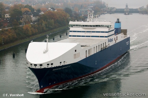
 Searoad Mersey 2
Current Status
Where is the vessel?
Searoad Mersey 2 is currently in Near Spotswood, based on AIS data received about 1h ago.
Latest AIS update:
Current position: 37.84274° S, 144.90701° E (Near Spotswood)
Average speed (last 7 days): Loading…
Average speed (last 30 days): Loading…
Vessel profile: Searoad Mersey 2 is a Container Ro Ro Cargo Ship with dimensions 182m x 30m.
This page combines live AIS, route history, probable destination signals, nearby traffic, and port activity for practical vessel monitoring.
The current position of vessel Searoad Mersey 2 is -37.84274 lat / 144.90701 lng. Updated: 2026-05-13 23:29:19 UTCNearest reference points:
- Near Spotswood
- Near Drysdale
- Near QUEENSCLIFF
Currently sailing under the flag of Australia ![]()
Details:
Live Vessel Searoad Mersey 2 Analytics (details, animations, etc.)
Recent AIS points (UTC):
2026-05-13 20:00:00 UTC · -37.96083, 144.91994 · SOG 14.6 kn · COG 4°2026-05-13 22:08:19 UTC · -37.84274, 144.90701 · SOG 0 kn · COG 155°
2026-05-13 22:17:19 UTC · -37.84274, 144.90698 · SOG 0 kn · COG 155°
2026-05-13 23:29:19 UTC · -37.84274, 144.90701 · SOG 0 kn · COG 155°