 vesseltracker.com
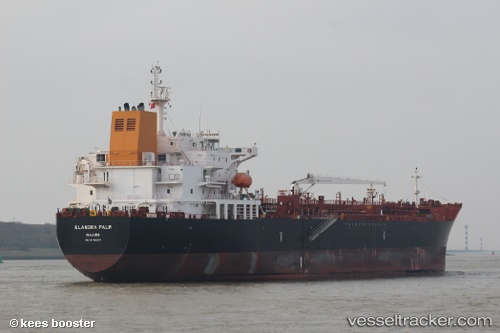
 Elandra Palm
Current Status
Where is the vessel?
Elandra Palm is currently in 35 nm E of Geomundo, based on AIS data received less than 1h ago.
Latest AIS update:
Current position: 34.05340° N, 127.99532° E (35 nm E of Geomundo)
Average speed (last 7 days): Loading…
Average speed (last 30 days): Loading…
Vessel profile: Elandra Palm is a Chemical Oil Products Tanker with dimensions 183m x 32m.
This page combines live AIS, route history, probable destination signals, nearby traffic, and port activity for practical vessel monitoring.
The current position of vessel Elandra Palm is 34.05340 lat / 127.99532 lng. Updated: 2026-05-02 22:11:48 UTCNearest reference points:
- 35 nm E of Geomundo
- 25 nm S of Kukdo
- 12 nm E of Geomundo
Currently sailing under the flag of Marshall Is ![]()
Details:
Live Vessel Elandra Palm Analytics (details, animations, etc.)
Recent AIS points (UTC):
2026-05-02 19:22:29 UTC · 34.60114, 127.93940 · SOG 10.4 kn · COG 179°2026-05-02 19:34:10 UTC · 34.56640, 127.93779 · SOG 10.9 kn · COG 182°
2026-05-02 21:40:57 UTC · 34.16194, 128.01524 · SOG 12.9 kn · COG 186°
2026-05-02 22:11:48 UTC · 34.05340, 127.99532 · SOG 12.6 kn · COG 188°