 vesseltracker.com
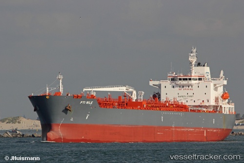
 ANTALYA
Current Status
Where is the vessel?
ANTALYA is currently in 154 nm E of South Padre Island, based on AIS data received less than 1h ago.
Latest AIS update:
Current position: 25.87167° N, 94.31667° W (154 nm E of South Padre Island)
Average speed (last 7 days): Loading…
Average speed (last 30 days): Loading…
Vessel profile: ANTALYA is a Tanker with dimensions m x m.
This page combines live AIS, route history, probable destination signals, nearby traffic, and port activity for practical vessel monitoring.
The current position of vessel ANTALYA is 25.87167 lat / -94.31667 lng. Updated: 2026-05-13 21:35:50 UTCNearest reference points:
- 63 nm SE of Quintana
- 56 nm SE of Quintana
- 124 nm SW of Gulfmex Lightering Area
Currently sailing under the flag of Marshall Islands ![]()
Details:
Live Vessel ANTALYA Analytics (details, animations, etc.)
Recent AIS points (UTC):
2026-05-13 18:02:49 UTC · 26.13667, -95.00833 · SOG 12 kn · COG -1°2026-05-13 19:11:50 UTC · 25.98167, -94.82167 · SOG 12 kn · COG -1°
2026-05-13 20:17:51 UTC · 25.93167, -94.59833 · SOG 11 kn · COG -1°
2026-05-13 21:35:50 UTC · 25.87167, -94.31667 · SOG 13 kn · COG -1°