 vesseltracker.com
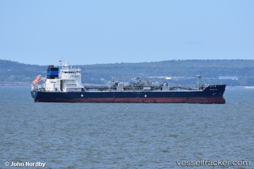
Palanca Rio
Current StatusWhere is the vessel?
Palanca Rio is currently in 94 nm NE of South Wellfleet, based on AIS data received less than 1h ago.
Latest AIS update:
Current position: 42.51833° N, 68.04333° W (94 nm NE of South Wellfleet)
Average speed (last 7 days): Loading…
Average speed (last 30 days): Loading…
Vessel profile: Palanca Rio is a Bitumen Tanker with dimensions 23m x 133m.
This page combines live AIS, route history, probable destination signals, nearby traffic, and port activity for practical vessel monitoring.
The current position of vessel Palanca Rio is 42.51833 lat / -68.04333 lng. Updated: 2026-05-15 17:23:15 UTCNearest reference points:
- Near Manset
- 28 nm SE of East Harwich
- Near ROCKPORT
Details:
Live Vessel Palanca Rio Analytics (details, animations, etc.)
Recent AIS points (UTC):
2026-05-15 14:13:45 UTC · 43.06500, -67.70167 · SOG 12 kn · COG -1°2026-05-15 16:26:06 UTC · 42.68167, -67.94167 · SOG 12 kn · COG -1°
2026-05-15 16:44:06 UTC · 42.62833, -67.97667 · SOG 12 kn · COG -1°
2026-05-15 17:23:15 UTC · 42.51833, -68.04333 · SOG 9 kn · COG -1°