 vesseltracker.com
 ALBERTITO
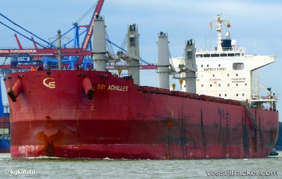
Current Status
Where is the vessel?
ALBERTITO is currently in Near Waterport, based on AIS data received less than 1h ago.
Latest AIS update:
Current position: 36.12677° N, 5.36219° W (Near Waterport)
Average speed (last 7 days): Loading…
Average speed (last 30 days): Loading…
Vessel profile: ALBERTITO is a Bulk Carrier with dimensions 32m x 199m.
This page combines live AIS, route history, probable destination signals, nearby traffic, and port activity for practical vessel monitoring.
The current position of vessel ALBERTITO is 36.12677 lat / -5.36219 lng. Updated: 2026-05-15 16:37:49 UTCNearest reference points:
- Near Waterport
- Near La Línea de la Concepción
- Near Palmones
Currently sailing under the flag of Marshall Islands ![]()
ALBERTITO built in 2016 year
Deadweight:
61301 tDetails:
Live Vessel ALBERTITO Analytics (details, animations, etc.)
Recent AIS points (UTC):
2026-05-15 13:05:41 UTC · 36.12667, -5.36333 · SOG 0 kn · COG -1°2026-05-15 13:49:45 UTC · 36.12770, -5.36422 · SOG 0 kn · COG 192°
2026-05-15 15:59:43 UTC · 36.12667, -5.36167 · SOG 0 kn · COG -1°
2026-05-15 16:37:49 UTC · 36.12677, -5.36219 · SOG 0.2 kn · COG 240°