 vesseltracker.com
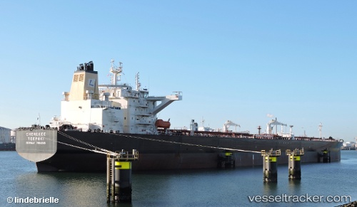
 NORDIC HAWK
Current Status
Where is the vessel?
NORDIC HAWK is currently in 23 nm W of Eureka Springs, based on AIS data received about 1h ago.
Latest AIS update:
Current position: 36.34783° N, 40.21225° W (23 nm W of Eureka Springs)
Average speed (last 7 days): Loading…
Average speed (last 30 days): Loading…
Vessel profile: NORDIC HAWK is a Tanker with dimensions m x m.
This page combines live AIS, route history, probable destination signals, nearby traffic, and port activity for practical vessel monitoring.
The current position of vessel NORDIC HAWK is 36.34783 lat / -40.21225 lng. Updated: 2026-05-14 07:31:29 UTCNearest reference points:
- 47 nm W of Eureka Springs
Currently sailing under the flag of Liberia ![]()
Details:
Live Vessel NORDIC HAWK Analytics (details, animations, etc.)
Recent AIS points (UTC):
2026-05-14 04:05:18 UTC · 36.19732, -41.11944 · SOG 12.8 kn · COG 76°2026-05-14 06:08:38 UTC · 36.28075, -40.58188 · SOG 13.3 kn · COG 78°
2026-05-14 07:06:09 UTC · 36.32804, -40.32377 · SOG 13.3 kn · COG 80°
2026-05-14 07:31:29 UTC · 36.34783, -40.21225 · SOG 13.1 kn · COG 82°