 vesseltracker.com
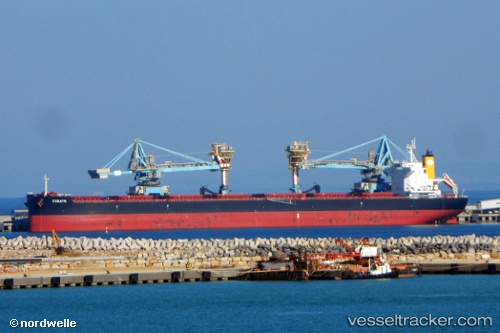
 Corato
Current Status
Where is the vessel?
Corato is currently in 41 nm NW of Abbot Point, based on AIS data received less than 1h ago.
Latest AIS update:
Current position: 19.33293° S, 147.68779° E (41 nm NW of Abbot Point)
Average speed (last 7 days): Loading…
Average speed (last 30 days): Loading…
Vessel profile: Corato is a Bulk Carrier with dimensions 228m x 32m.
This page combines live AIS, route history, probable destination signals, nearby traffic, and port activity for practical vessel monitoring.
The current position of vessel Corato is -19.33293 lat / 147.68779 lng. Updated: 2026-05-17 15:15:01 UTCNearest reference points:
- Near Townsville
- Near AIRLIE
- Near Abell Point
Currently sailing under the flag of Malta ![]()
Details:
Live Vessel Corato Analytics (details, animations, etc.)
Recent AIS points (UTC):
2026-05-17 12:09:50 UTC · -18.91682, 147.17351 · SOG 12.4 kn · COG 132°2026-05-17 13:04:22 UTC · -19.03819, 147.32568 · SOG 12.5 kn · COG 132°
2026-05-17 13:29:37 UTC · -19.09379, 147.39690 · SOG 12.5 kn · COG 132°
2026-05-17 15:15:01 UTC · -19.33293, 147.68779 · SOG 12.2 kn · COG 135°