 vesseltracker.com
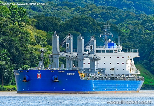
 HG STEWART
Current Status
Where is the vessel?
HG STEWART is currently in 61 nm S of Acapulco, based on AIS data received about 1h ago.
Latest AIS update:
Current position: 15.82667° N, 100.00833° W (61 nm S of Acapulco)
Average speed (last 7 days): Loading…
Average speed (last 30 days): Loading…
Vessel profile: HG STEWART is a Cargo with dimensions m x m.
This page combines live AIS, route history, probable destination signals, nearby traffic, and port activity for practical vessel monitoring.
The current position of vessel HG STEWART is 15.82667 lat / -100.00833 lng. Updated: 2026-05-15 20:12:29 UTCNearest reference points:
- Near Acapulco
- Near Ixtapa/Zihuatanejo
- Near Lazaro Cardenas
Currently sailing under the flag of Liberia ![]()
Details:
Live Vessel HG STEWART Analytics (details, animations, etc.)
Recent AIS points (UTC):
2026-05-15 16:06:28 UTC · 15.52333, -99.28667 · SOG 11 kn · COG -1°2026-05-15 17:29:20 UTC · 15.62375, -99.53010 · SOG 10.8 kn · COG 294°
2026-05-15 19:18:29 UTC · 15.75667, -99.84833 · SOG 11 kn · COG -1°
2026-05-15 20:12:29 UTC · 15.82667, -100.00833 · SOG 11 kn · COG -1°