 vesseltracker.com
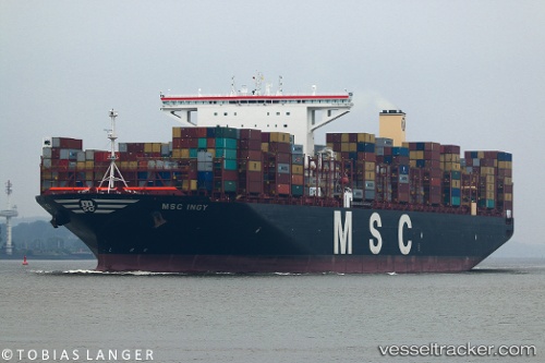
 Msc Ingy
Current Status
Where is the vessel?
Msc Ingy is currently in 102 nm SW of Abakaliki, based on AIS data received less than 1h ago.
Latest AIS update:
Current position: 5.57167° N, 84.47833° E (102 nm SW of Abakaliki)
Average speed (last 7 days): Loading…
Average speed (last 30 days): Loading…
Vessel profile: Msc Ingy is a Container Ship with dimensions 400m x 400m.
This page combines live AIS, route history, probable destination signals, nearby traffic, and port activity for practical vessel monitoring.
The current position of vessel Msc Ingy is 5.57167 lat / 84.47833 lng. Updated: 2026-04-27 23:47:56 UTCNearest reference points:
- 127 nm W of Abakaliki
- 46 nm SW of Abakaliki
- 23 nm S of Abakaliki
Currently sailing under the flag of Liberia ![]()
Details:
Live Vessel Msc Ingy Analytics (details, animations, etc.)
Recent AIS points (UTC):
2026-04-27 19:40:05 UTC · 5.51904, 83.23318 · SOG 17.8 kn · COG 90°2026-04-27 21:24:43 UTC · 5.54134, 83.75740 · SOG 18 kn · COG 90°
2026-04-27 22:08:49 UTC · 5.55082, 83.97690 · SOG 17.8 kn · COG 91°
2026-04-27 23:47:56 UTC · 5.57167, 84.47833 · SOG 17 kn · COG -1°