 vesseltracker.com
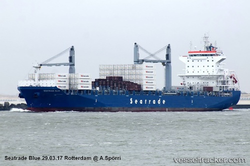
 CMA CGM BLUE
Current Status
Where is the vessel?
CMA CGM BLUE is currently in 50 nm E of Fleming, based on AIS data received about 1h ago.
Latest AIS update:
Current position: 31.30087° N, 80.10617° W (50 nm E of Fleming)
Average speed (last 7 days): Loading…
Average speed (last 30 days): Loading…
Vessel profile: CMA CGM BLUE is a Cargo with dimensions m x m.
This page combines live AIS, route history, probable destination signals, nearby traffic, and port activity for practical vessel monitoring.
The current position of vessel CMA CGM BLUE is 31.30087 lat / -80.10617 lng. Updated: 2026-05-16 05:54:11 UTCNearest reference points:
- 33 nm S of Kiawah Island
- Near Saint Andrews
- Near Brunswick
Currently sailing under the flag of Malta ![]()
Details:
Live Vessel CMA CGM BLUE Analytics (details, animations, etc.)
Recent AIS points (UTC):
2026-05-16 02:34:14 UTC · 30.63693, -79.60585 · SOG 15.1 kn · COG 315°2026-05-16 04:05:55 UTC · 30.94736, -79.83959 · SOG 14.3 kn · COG 328°
2026-05-16 04:13:55 UTC · 30.97423, -79.85984 · SOG 14.2 kn · COG 328°
2026-05-16 05:54:11 UTC · 31.30087, -80.10617 · SOG 14.3 kn · COG 328°