 vesseltracker.com
 KILDIN
Current Status
Where is the vessel?
KILDIN is currently in 135 nm NE of Vardo, based on AIS data received about 1h ago.
Latest AIS update:
Current position: 71.58147° N, 36.93673° E (135 nm NE of Vardo)
Average speed (last 7 days): Loading…
Average speed (last 30 days): Loading…
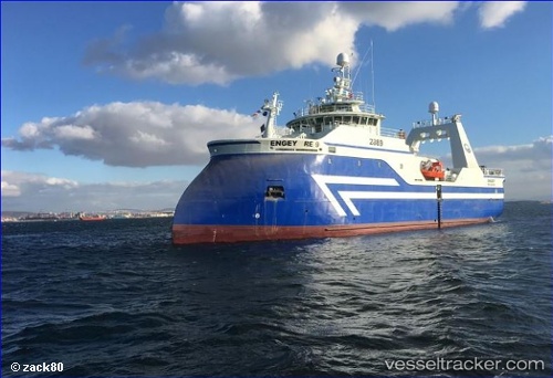
Vessel profile: KILDIN is a Fishing Vessel with dimensions 55m x 13m.
This page combines live AIS, route history, probable destination signals, nearby traffic, and port activity for practical vessel monitoring.
The current position of vessel KILDIN is 71.58147 lat / 36.93673 lng. Updated: 2026-04-26 01:31:27 UTCNearest reference points:
- 128 nm NE of Vardo
- 52 nm E of Polyarnyy
- 36 nm E of Polyarnyy
Currently sailing under the flag of Russia ![]()
KILDIN built in 2017 year
Deadweight:
898 tDetails:
Live Vessel KILDIN Analytics (details, animations, etc.)
Recent AIS points (UTC):
2026-04-25 22:46:50 UTC · 71.63322, 36.98202 · SOG 3.5 kn · COG -1°2026-04-26 00:20:11 UTC · 71.62167, 37.02333 · SOG 3 kn · COG -1°
2026-04-26 01:31:27 UTC · 71.58147, 36.93673 · SOG 11.3 kn · COG -1°
2026-04-26 01:31:27 UTC · 71.58147, 36.93673 · SOG 11.3 kn · COG -1°