 vesseltracker.com
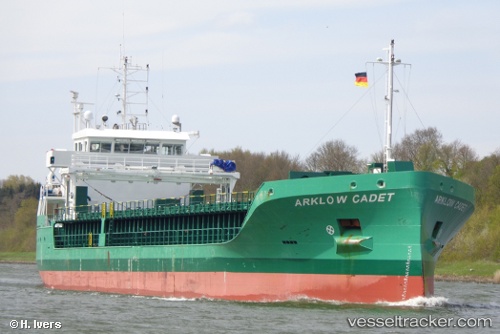
 VERMLAND
Current Status
Where is the vessel?
VERMLAND is currently in Near VESTMANNAEYJAR, based on AIS data received less than 1h ago.
Latest AIS update:
Current position: 63.44547° N, 20.28048° W (Near VESTMANNAEYJAR)
Average speed (last 7 days): Loading…
Average speed (last 30 days): Loading…
Vessel profile: VERMLAND is a Cargo with dimensions m x m.
This page combines live AIS, route history, probable destination signals, nearby traffic, and port activity for practical vessel monitoring.
The current position of vessel VERMLAND is 63.44547 lat / -20.28048 lng. Updated: 2026-04-23 19:56:26 UTCNearest reference points:
- Near HERJOLFUR
- Near Reykjavik
- Near HAFNARFJORDUR
Details:
Live Vessel VERMLAND Analytics (details, animations, etc.)
Recent AIS points (UTC):
2026-04-23 17:03:16 UTC · 63.44547, -20.28045 · SOG 0 kn · COG 87°2026-04-23 17:44:36 UTC · 63.44547, -20.28048 · SOG 0 kn · COG 87°
2026-04-23 19:17:05 UTC · 63.44547, -20.28048 · SOG 0 kn · COG 87°
2026-04-23 19:56:26 UTC · 63.44547, -20.28048 · SOG 0 kn · COG 87°