 vesseltracker.com
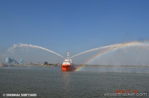
Seaeagles Dolphin
Current StatusWhere is the vessel?
Seaeagles Dolphin is currently in 54 nm NE of Ras Al-Khair, based on AIS data received less than 1h ago.
Latest AIS update:
Current position: 28.13737° N, 49.96129° E (54 nm NE of Ras Al-Khair)
Average speed (last 7 days): Loading…
Average speed (last 30 days): Loading…
Vessel profile: Seaeagles Dolphin is a Tug with dimensions 10m x 41m.
This page combines live AIS, route history, probable destination signals, nearby traffic, and port activity for practical vessel monitoring.
The current position of vessel Seaeagles Dolphin is 28.13737 lat / 49.96129 lng. Updated: 2026-05-15 07:02:52 UTCNearest reference points:
- 44 nm NE of Ras Al Khair
- 41 nm NE of Ras Al Khair
- 41 nm S of Soroosh (Cyrus) Terminal
Details:
Live Vessel Seaeagles Dolphin Analytics (details, animations, etc.)
Recent AIS points (UTC):
2026-05-15 03:33:01 UTC · 28.14189, 49.94887 · SOG 0.3 kn · COG 88°2026-05-15 04:02:31 UTC · 28.14100, 49.94239 · SOG 0.1 kn · COG 86°
2026-05-15 06:21:53 UTC · 28.13846, 49.95044 · SOG 0.8 kn · COG 18°
2026-05-15 07:02:52 UTC · 28.13737, 49.96129 · SOG 1.3 kn · COG 35°