 vesseltracker.com
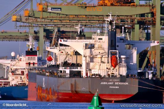
 AMARANTOS
Current Status
Where is the vessel?
AMARANTOS is currently in 236 nm N of Tinaquillo, based on AIS data received less than 1h ago.
Latest AIS update:
Current position: 13.76295° N, 67.49528° E (236 nm N of Tinaquillo)
Average speed (last 7 days): Loading…
Average speed (last 30 days): Loading…
Vessel profile: AMARANTOS is a Cargo with dimensions m x m.
This page combines live AIS, route history, probable destination signals, nearby traffic, and port activity for practical vessel monitoring.
The current position of vessel AMARANTOS is 13.76295 lat / 67.49528 lng. Updated: 2026-04-27 07:24:49 UTCNearest reference points:
- 187 nm N of Tinaquillo
- 198 nm N of Tinaquillo
- 282 nm W of RATNAGIRI
Currently sailing under the flag of Bahamas ![]()
Details:
Live Vessel AMARANTOS Analytics (details, animations, etc.)
Recent AIS points (UTC):
2026-04-27 03:58:09 UTC · 14.28260, 67.90848 · SOG 11.5 kn · COG 219°2026-04-27 04:43:09 UTC · 14.16970, 67.81973 · SOG 11.2 kn · COG 218°
2026-04-27 05:41:48 UTC · 14.02104, 67.70235 · SOG 11.4 kn · COG 218°
2026-04-27 07:24:49 UTC · 13.76295, 67.49528 · SOG 11.3 kn · COG 218°